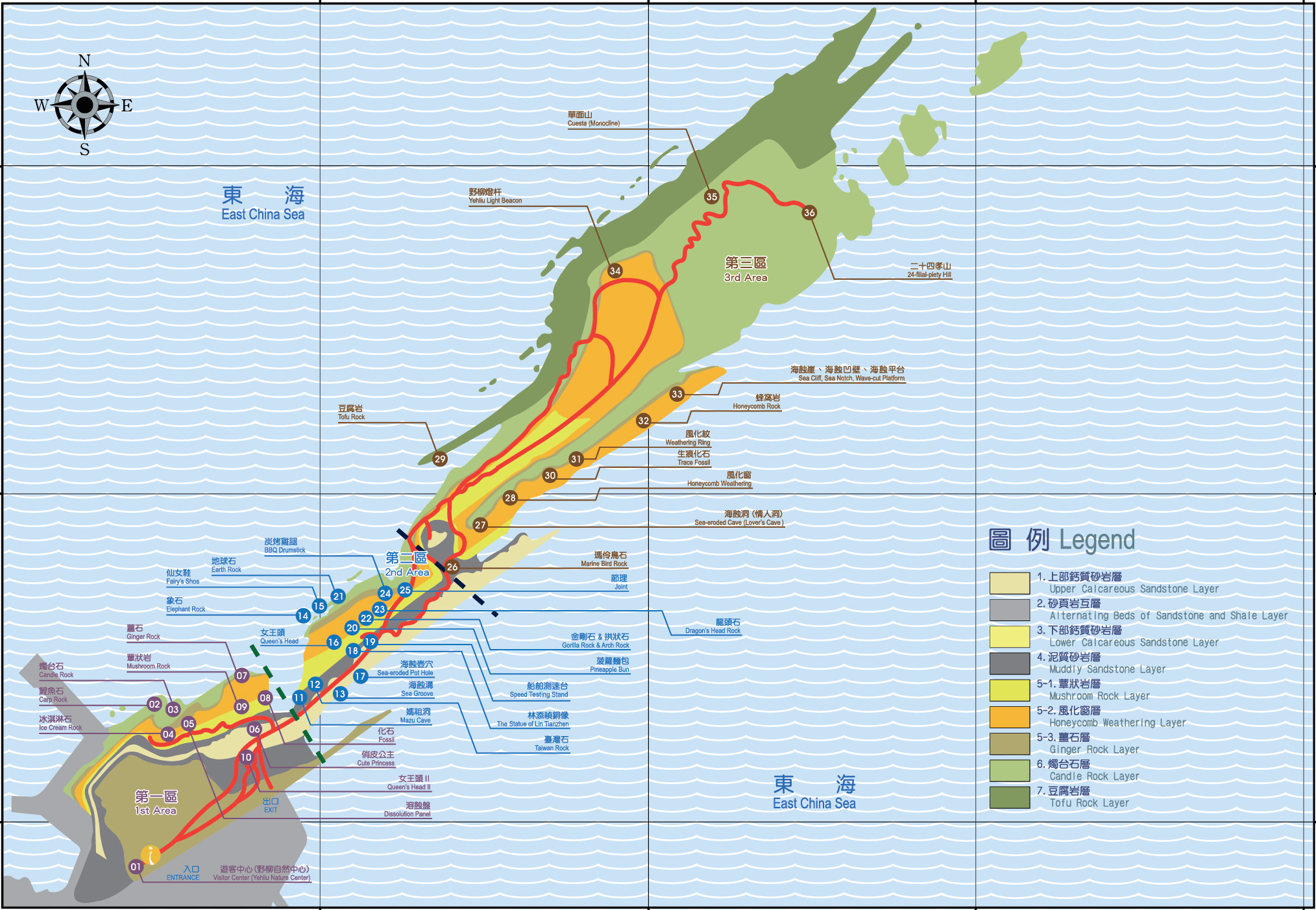
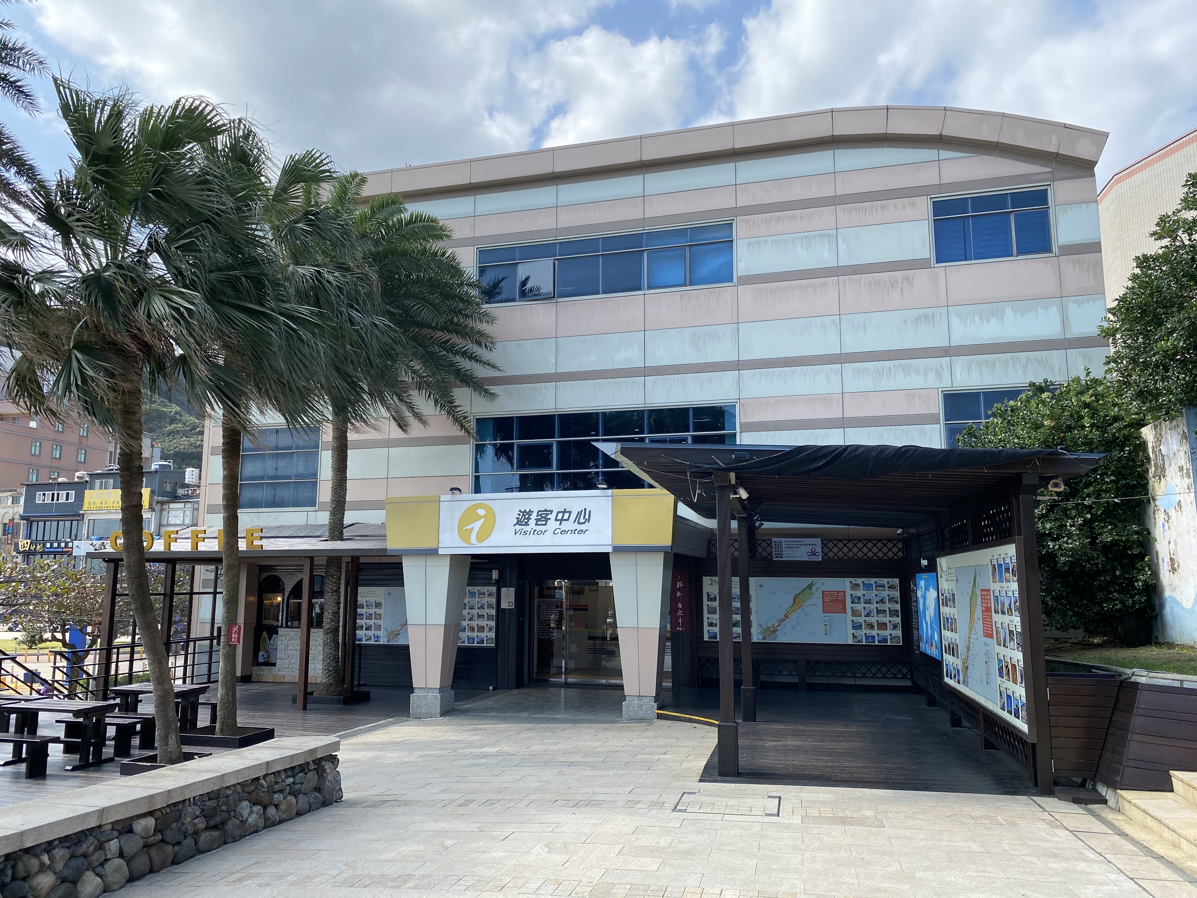
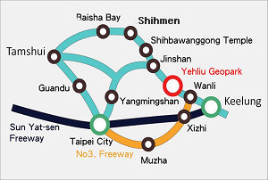
 The total distance measured from the entrance of the Yehliu Geopark to the end of the cape is about 1.7 km; the widest area in between is shorter than 300 m. The distance measured from Yehliu Stop at Jijin Highway to the end of the cape is about 2.4km. The rock landscape of Yehliu Geopark is one of most famous wonders in the world. The costal line is stretching in a direction vertical to the layer and the structure line; besides, the influences caused by wave attack, rock weathering, earth movement and crustal movement all contribute to the formation of such a rare and stunning geological landscape.
The name “Yehliu” was derived from:1. A term translated from the Pinpu language; 2. An abbreviation of the Spanish words “Punto Diablos(which means “devil’s cape”); 3. In early days, local residents earned their living at sea and they relied on rice suppliers from inner land to offer rice to them. During transportation, some local people would use the sharp bamboo tube to stick the rick sack and leave a hole on it, so that the rice may slip out and could be picked up by them. As a result, rice traders often mentioned “the rice was stolen by the savages” (whereas “steal” and “savage” are pronounced similar to Yeh (savage) and liu (steal) in Taiwanese).
Yehliu Geopark can be divided into three areas. The first area contains mushroom rock and ginger rock. You may learn the development process of mushroom rock as well as witness the appearance of ginger rock, cleavage, pothole and melting erosion panel. On top of that, the famous candle shaped rock and the ice cream rock are presented in this area too.
The second area is similar to the first area, where the mushroom rock and the ginger rock are the main focuses, only they are fewer in numbers. You may see the Queen’s Head, Dragon’s Head Rock, and etc. Since the area is near the coast, rocks that develop into four different kinds of formations can be seen in this area: elephant rock, fairy’s shoe, earth rock and peanut rock. The aforementioned are parts of the layers featuring special shapes as a result of being corroded by sea water.
The third area is the wave-cut platform located on the other side of Yehliu. This area is much narrower than the second area; one side of the platform is closely adjacent to steep cliffs while down below the other side is a scene of torrent waves. Several rocks of grotesque shapes and sizes that are incarnated as a result of sea erosion can be seen in this area, including the 24-filial piety hill, pearl rock and Marine Bird Rock. The third area also includes the major ecology reserve of Yehliu Geopark in addition to the said rock landscapes.
Yehliu Geopark is famous for its sea-erosion landscape, while most of the spots are very close to the sea, tourists are advised to observe the tour guide regulations in case of the occurrence of possible danger or causing any damage to the natural resources. Welcome to Yehliu Geopark and we hope you have a nice day.

